Harta Topspot N209 - zona Lower Key, de la Key West la Rebecca Shoal LORAN-C &

Brand:Topspot

3.8/5

L
288.23

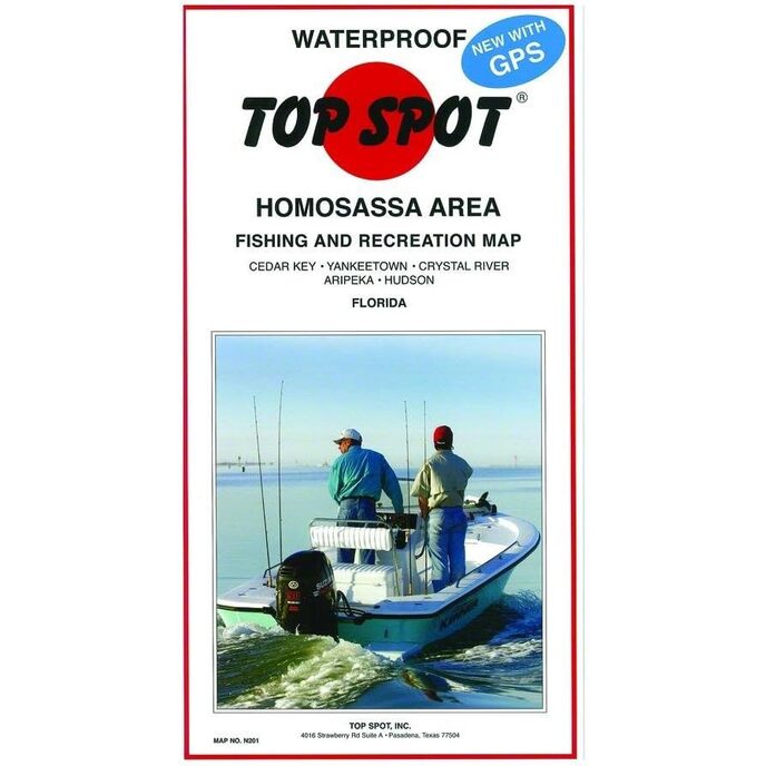
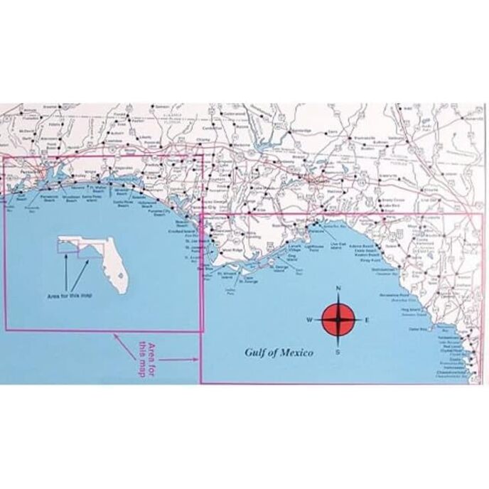
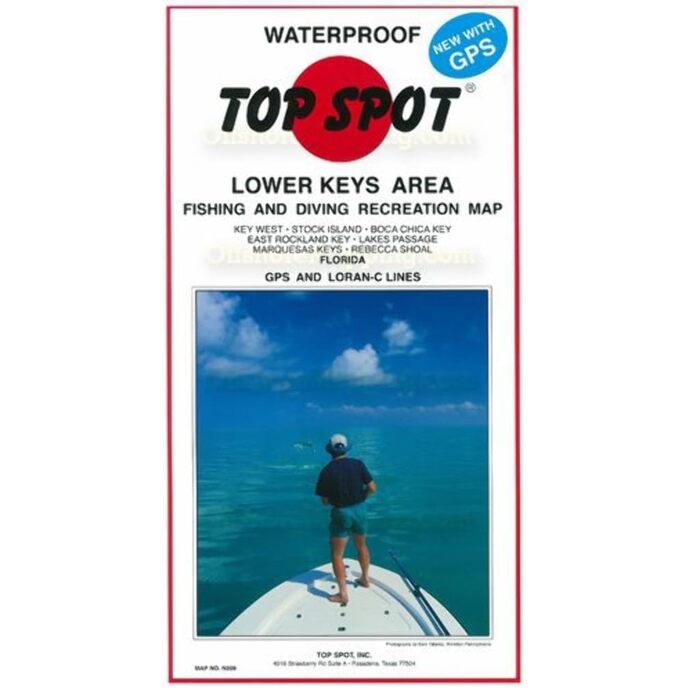
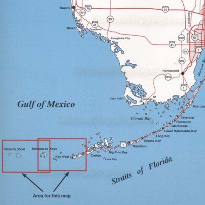
Această hartă este perfectă pentru obișnuitul în aer liber. Harta de top de la Key West la Rebecca Shoal.

Țara de origine: Statele Unite. Indică tipurile de pești de apă sărată capturați, cele mai bune luni de pescuit ale anului și structura subacvatică. Include coordonatele GPS pentru locații de pescuit fierbinte, rampe pentru bărci, porturi și alte puncte de interes. Impermeabil și rezistent la rupere.
Brand Name ‎Topspot
Customer Reviews 4.8 4.8 out of 5 stars 45 ratings 4.8 out of 5 stars
Included Components ‎Fishing and recreation map
Item Dimensions LxWxH ‎13 x 7 x 0.13 inches
Item Package Dimensions L x W x H ‎12.8 x 7 x 0.6 inches
Item Weight ‎0.25 Pounds
Manufacturer ‎Top Spot
Number of Items ‎1
Package Weight ‎0.25 Pounds
Part Number ‎N209

3.8

8 Review
5 Star
83
4 Star
11
3 Star
6
2 Star
0
1 Star
0

Scrie o recenzie

E-mailul dvs. nu va fi publicat. Toate câmpurile obligatorii sunt marcate cu*

Scritto da: Denise Drellich
One of the best maps
Does the job
Scritto da: GM
Four Stars
helped me find TUNA!
Scritto da: J. Brown
Great
Nice map
Scritto da: TDE
A Must have for boaters
Very informative great stuff here!Sows all areas of interest, how deep,sunken islands ,where the best fishing spots are etc
Scritto da: Amazon Customer
Five Stars
Lots of info and will put you on the fish!
Scritto da: Cameo
Worth the cost.
A.ways reliable!
Scritto da: Amazon Customer
Five Stars
nice chart
Scritto da: Barbara, RN, BSN
Five Stars
excellent product

Produse asemanatoare

Descoperiți rețeaua noastră internațională

Expediem în 28 de țări, peste 200.000 de produse. Fii la curent, abonează-te la newsletter.

Array